SWAT Tools features four applications designed to assist with your analysis of SWAT model data. A screenshot of each tool can be found below as well as a description and link to each tool's related paper or presentation.
You will need to register to get started. This can be done by clicking the registration link located in the above navigation bar or clicking "Get started" below. Once signed up, you will gain access to detailed manuals for each tool and a contact form if further assistance is required.

LUU Checker compares multiple land use cover datasets against a base layer on a subbasin level. Emerging land use covers are detected and a user defined percentage area of the new land use covers is applied to the base raster in the relevant subbasins.
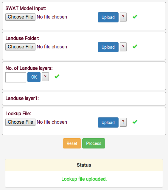
SWAT LUU is a geospatial tool that ingests multiple land use/land cover geospatial datasets and other associated information interactively and prepares the input files necessary for activating the land use update (LUU) module in SWAT.

Small LULC errors can have a substantial effect on watershed model output. LUU Uncertainty enables the user to integrate LULC realizations in the SWAT model and evaluate the sensitivity of SWAT output to LULC errors.

Field SWAT is designed to map SWAT simulations from a HRU layer to a user-defined field boundaries layer. The tool ingests spatial and nonspatial SWAT ouputs and helps in visualizing them at the field scale using four different aggregation methods.